Highway planning
Highway planning
Planning is a prerequisite for any engineering activity or project; this definitely includes developing a network or highway system in a country. In this article we will learn some tips when planning highways.
Highway planning goals are:
- Plan a highway network for safe, efficient and rapid movement of people and goods.
- Keep the total cost of road construction and maintenance to the network to a minimum.
- Planning for future development and anticipated traffic needs for a specific design period.
- Developing a cost-benefit system.
To achieve these goals, the following principles must be observed:
- Suggested road links should be part of the country / country planned road network.
- The importance of the road should be based on traffic demand, and therefore its type should be under the standard classification.
- Road maintenance needs should receive immediate attention by allocating funds for this.
- Legal provisions should be established to regulate traffic.

Road classification:
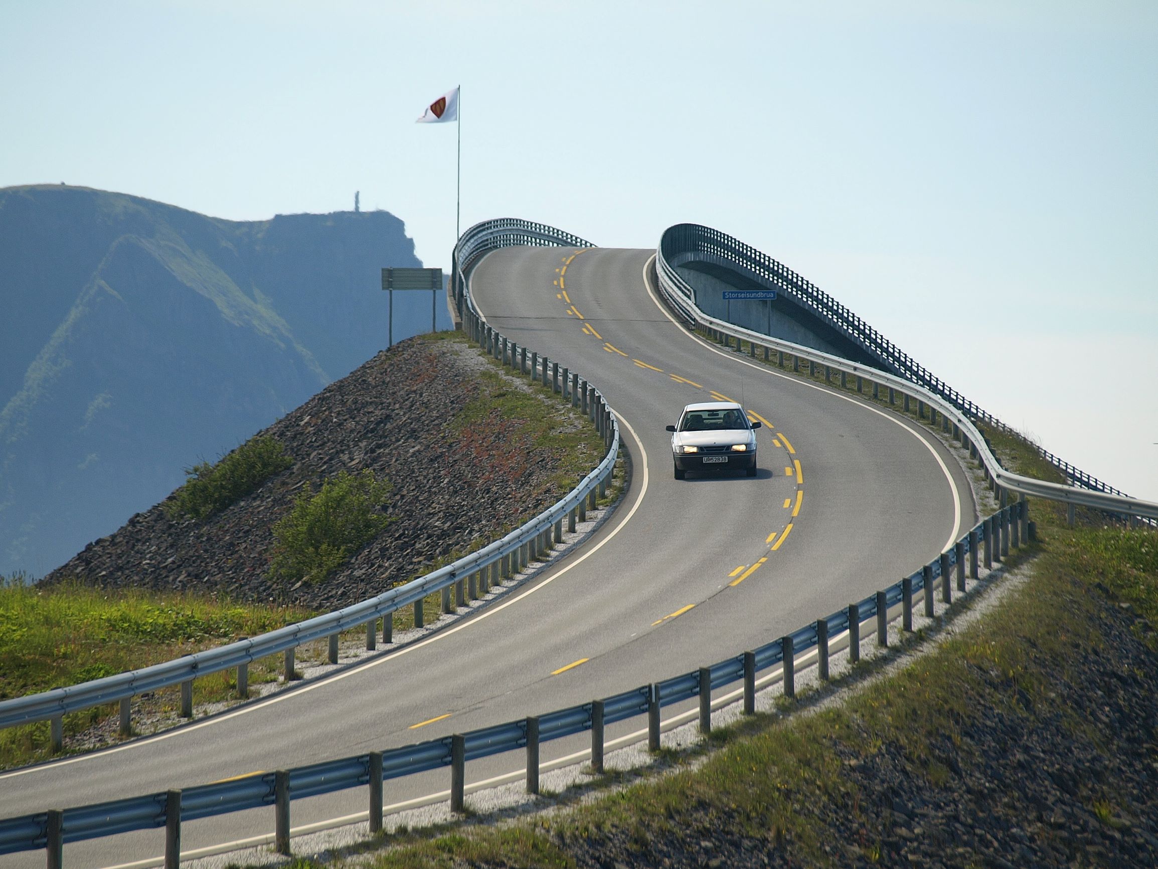
It may be all-weather roads if it can be used during all seasons of the year; moderate weather routes, if traffic stops during monsoons on cycle roads where the water overflows for a few hours. Depending on the type of transport road or pavement, it may be a paved road that contains at least a Macadam layer attached to the water, or it may be an unpaved road. Dirt and gravel roads fall into this category.
Excellent paved roads are characterized by the bitumen surface or the concrete surface of the transport road. Bitumen Road is also known as the Upper Black Road.
One of the important criteria for road classification is traffic volume, daily load carried, location and function. These criteria have been taken into account in the classification recommended by the Nagpur Plan – NH, SH, MDR, ODR, and VR, as in the standard modified by Lucknow Plan – with categories of primary, secondary, and tertiary methods.
Urban roads are categorized based on their function and location:
- Highway – for heavy traffic.
- Arterial streets – to connect the central area to highways.
- Arterial sub-streets – similar to arterial roads but with fewer distances and are intended to pass through the city and link the state or national highway, with limited access
- University streets – to collect and distribute traffic through local streets in residential areas.
- Local streets – for access to private property such as housing, shops and industries. Traffic originates here or ends here.
Knowing road patterns is of great help in planning urban highways. The choice of the road pattern depends on the extent of land use or the distribution of residential, industrial and commercial areas in the city, the nature of the terrain and the scheme’s preferences.
The main patterns used in urban areas are:
- Iron mesh pattern:
This is also known as a rectangular or block style, the Romans favored it, and so did the Americans who adopted it in many of their cities. It is easy to place in straight lines and rectangular coordinates, and is suitable for flat terrain.
The disadvantages of this style are the monotonous streets and traffic inconvenience. There are also some advantages such as bypassing any road with traffic congestion and the convenience of imposing one-way traffic, if necessary, creating alternative streets with one-way traffic in opposite directions.
Chandigarh is an excellent example of this style. The newly developed areas in most major cities like Bangalore are built on this style.
- Radial pattern:
In this pattern, the roads emit from a central area, which may be an important commercial center or public building. In order to reduce congestion in the focal area, circular roads are provided; there can be many of these internal, external and external roads according to traffic requirements.
The shape of the ring road may be round, square, or elongated. Depending on this, the pattern may be star and web, or star and circular. The star and grid, or radial and block pattern, form the basis of the Nagpur Road plan, and were adopted in a number of Indian cities.
- Hexagonal pattern:
The road network base number in this case is a pistol; each pistol has at least one common side with an adjacent pattern
The hexagonal pattern can be modified by dividing the hexagon into six triangular units by means of bonding methods; this facilitates travel from one place to any other place in the region in the least time possible, compared to any other pattern. This, in fact, is known as the “minimal travel style” and has been used in some cities to achieve a huge advantage.
Highway planning studies:
Highway planning includes assessing the length of the road required for a particular region, which may be a city, province, state or country; moreover, it includes preparing a master plan for the region taking into account future needs, and the gradual application of the program in annual or five-year plans, based on priorities and benefit. This includes studies of the use of roads, the volume of traffic in cars every day, traffic flow patterns, and traffic categories such as passenger cars, buses, trucks, portable tonnages, average speeds and directions, also includes engineering studies and these include the study of terrain, soil, road life and special problems, if Found, related to construction, drainage and maintenance. Finally financial studies.
Read also: Bridges design standards
